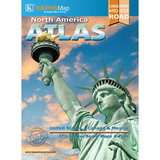
QuickStudy QS-220534 World & Us Map Laminated Reference, Price/Each
Brand QuickStudy
Shop more from EDR
Product Description
Price is for Each.
Manufacturer Part Number: QS-220534
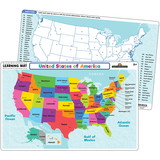
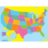
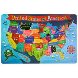
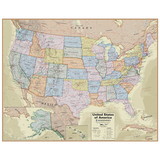
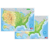
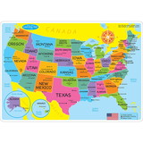
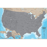
This handy notebook sized laminated map folds out to 11 by 17 inches with the World on one side and the U.S. on the other, plus an additional page of World & U.S. statistics and trivia for each map. Guide Includes: United States map Satellite imaged topography of the U.S. States & state capitals Cities labeled by human population National parks & preserves Man-made waterways, swamps & marshlands Time zone boundaries World map National capitals & large cities Satellite imaged topography of the World Distance & scale Extremely detailed boundaries and coastlines. Perfect for students of all ages and anyone interested in expanding their knowledge of the United States and the World. *Classroom bonus the large wall map can be used for the whole class while students reference their individual maps at their desks (lamination makes for durable classroom sets).
• Extremely detailed boundaries and coastlines of the United States and state capitals
• Perfect for students of all ages and anyone interested in expanding their knowledge of the United States and the World.
• Classroom bonus the large wall map can be used for the whole class while students reference their individual maps at their desks (lamination makes for durable classroom sets)
Color: Multi
Material: Laminated Paper
Assembly Required: N
Product Size: 8.5" x 11"
Age: 7-16+ years
Grade: Grade 2-12+
Product Series: Referencence/Study Guides
Package Contains: 1 Laminated study guide
 Attention CA Residents: Prop 65 Warning
 WARNING:
This product can expose you to chemicals which are known to the State of California to cause cancer, birth defects, or other reproductive harm. For more information, go to www.p65warnings.ca.gov.
Need more information?
Our staff are available to answer any questions you may have about this item
Our staff are available to answer any questions you may have about this item


